Industries We Serve
SeerMaps Technologies provides advanced geospatial and GIS solutions tailored to meet the specific challenges of a broad spectrum of industries. Our expertise in spatial data analytics, remote sensing, utility mapping, and digital engineering empowers organizations to optimize operations, improve planning, and drive strategic decisions through location intelligence.
Government & Municipalities
We support urban planners, municipal corporations, and government agencies with cadastral mapping, e-governance digitization, infrastructure asset management, and smart city initiatives. Our GIS solutions enhance transparency, improve service delivery, and facilitate data-driven governance at local and regional levels.

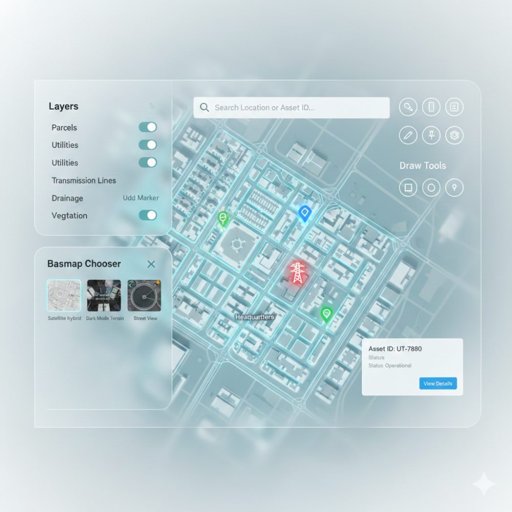
Infrastructure & Utilities
SeerMaps helps utility providers and infrastructure developers manage complex networks such as water supply, wastewater, electricity transmission, and telecommunications. Our precise utility mapping and digital twin engineering accelerate maintenance, outage management, and expansion planning.
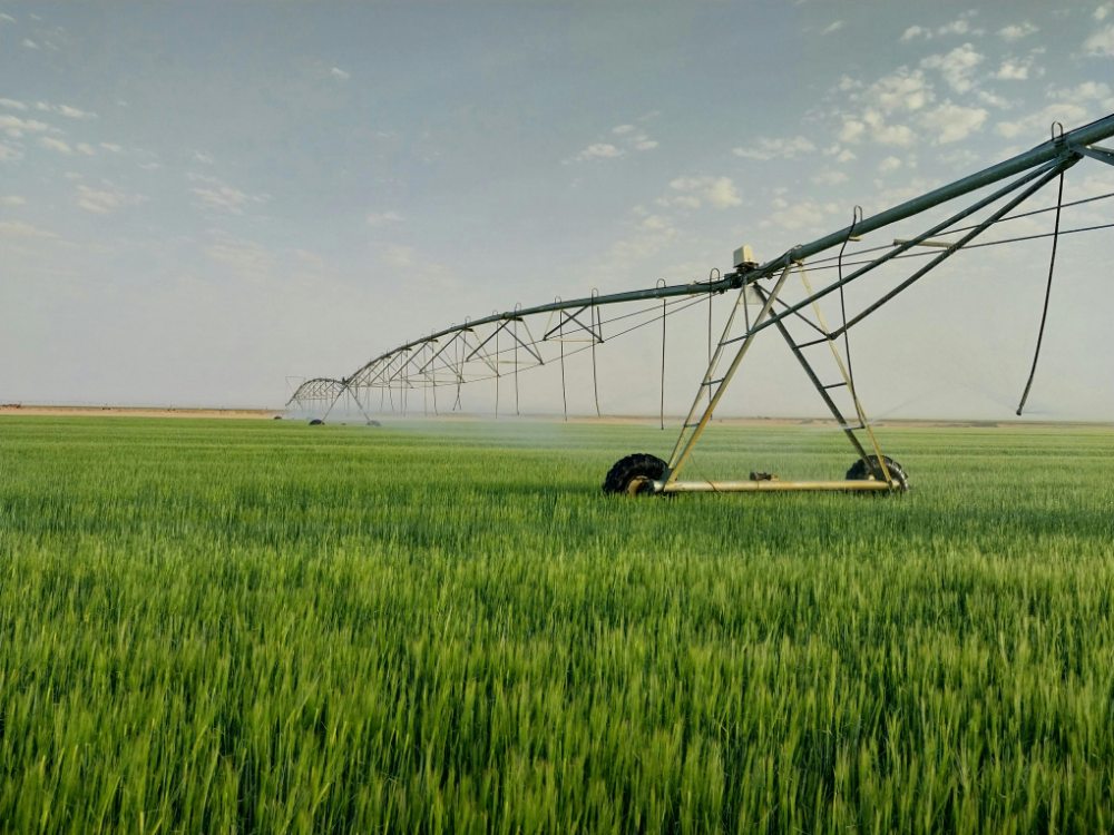
Agriculture & Irrigation
From farm pond site selection to multispectral crop health monitoring, our geospatial insights enable efficient water resource management and sustainable agricultural practices. Our UAV-based remote sensing solutions provide timely and actionable data to boost crop yield and water use efficiency.
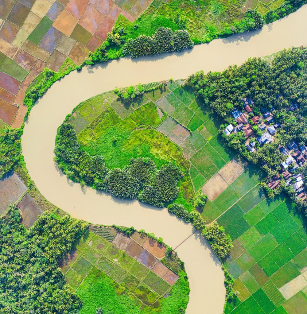
Environmental & Natural Resource Management
We assist environmental agencies and conservation projects with habitat mapping, impact assessments, and disaster risk management. Our GIS tools support sustainable resource management by tracking changes in land use, water bodies, and climate vulnerability.

Real Estate & Urban Development
SeerMaps offers detailed spatial analytics and mapping services to support land-use planning, property valuation, and site selection. Our solutions help developers and investors make informed decisions on zoning, environmental compliance, and market opportunity analysis.
Education & Research
Through workshops, academic collaborations, and training programs, we empower future geospatial professionals with hands-on skills and industry insights. Our partnerships with institutes across Maharashtra foster innovation and knowledge sharing in GIS technologies.
Why Choose SeerMaps for Your Industry Needs?
- Deep domain knowledge tailored to your sector’s challenges
- Advanced GIS and remote sensing technology integration
- Proven project delivery across India, Australia, and the USA
- Flexible, scalable solutions designed for actionable outcomes
Let’s Collaborate
Explore how SeerMaps Technologies can transform your industry-specific challenges into intelligent spatial solutions.