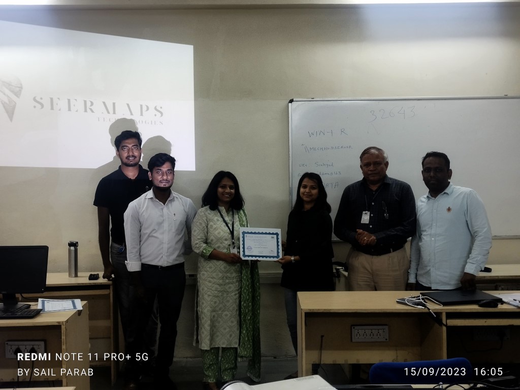
About SeerMaps
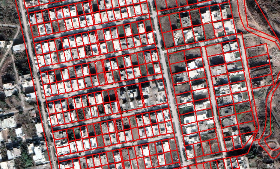
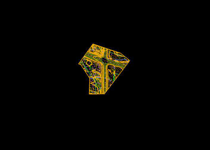
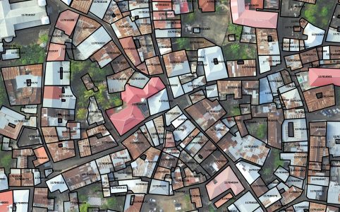
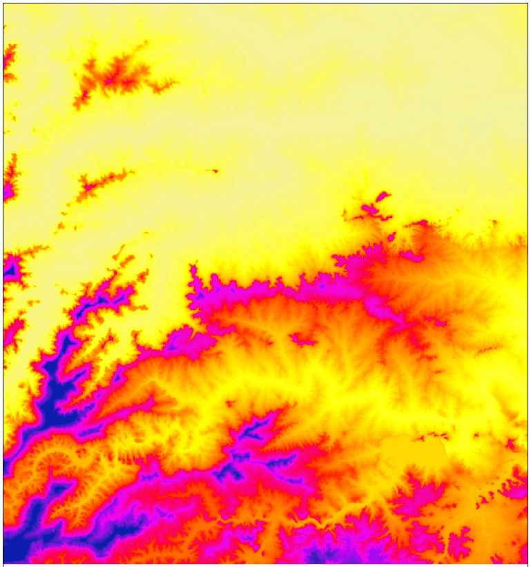
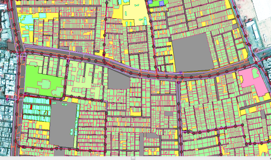
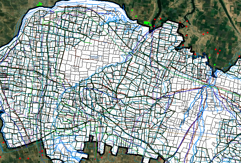
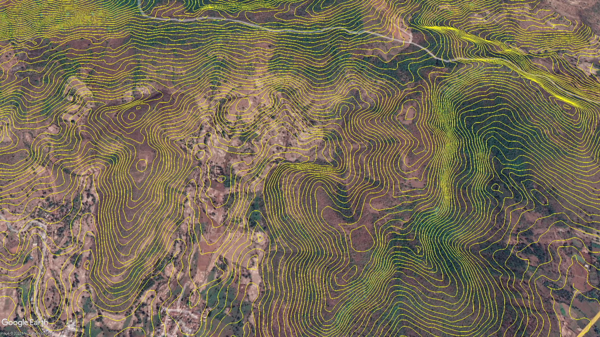
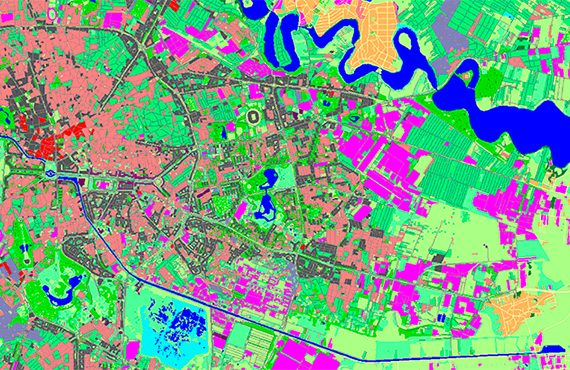
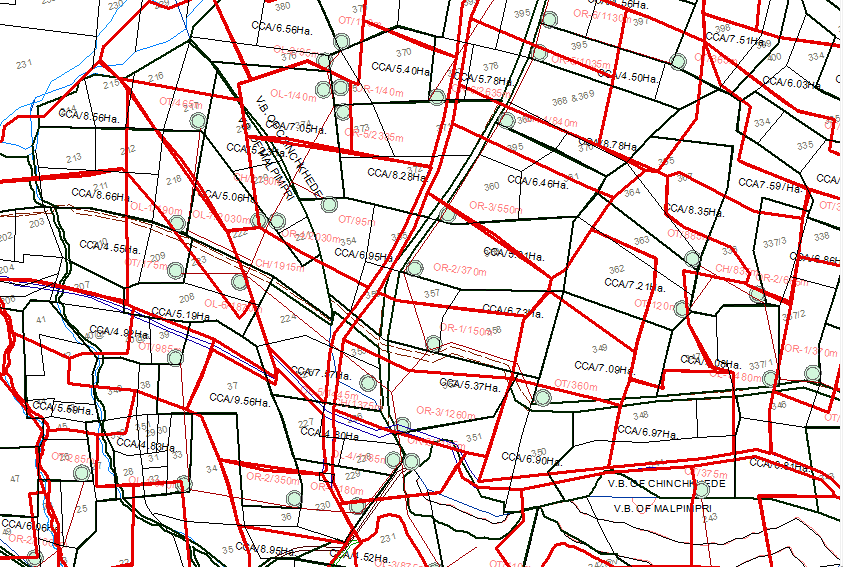
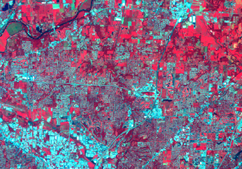
SeerMaps Technologies is an IT Service company. We are working towards Digital Civil Engineering. We provide all GIS services. Our team of experts have successfully delivered projects in Remote Sensing, Photogrammetry, Data conversion, Parcel mapping, Cadastral Mapping, Digital elevation model, Crop health monitoring, Multispectral image analysis, Environmental Impact assessment.We are providing GIS development solutions by collaborating with our team of Civil Engineers and Software Engineers.
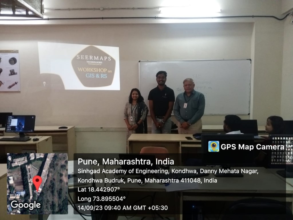
We also provide GIS training and workshops. We conduct a monthly GIS workshop for Civil Engineering professionals. On the other hand we are conducting GIS training for aspiring Civil and Software Engineers.
SeerMaps is working continuously to make our clients successful. Our team of experts is determined to deliver quality services. Our goal is to digitize Civil Engineering. We are working toward minimizing the field-work for fast-paced development using GIS.
SeerMaps Gallery
- All
- Geospatial
- Remote Sensing
- Photogrammetry
- Engineering
- Training

