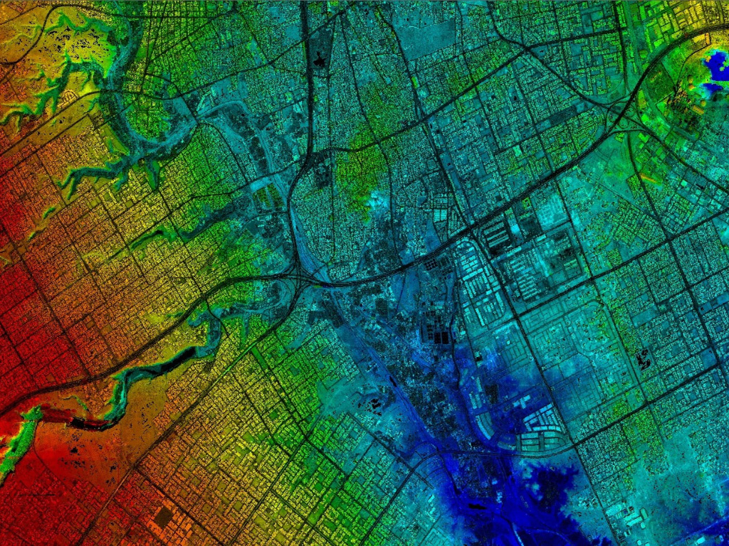
We provide all types of Geospatial Services
The expanding part of spatial data has contributed to an ever-increasing set of benchmarks and extend of information designs for utilize. Data is the main backbone of GIS. Data capturing is the key step for building a GIS database. It is the most important part of the complete GIS system for any of its application. We at SEERMAPS have experience with data conversion, spatial modeling, web-map design, cartography, and Mapping. We’ve helped our clients to capture, store, manipulate, and analyze geospatial data so that it can be used to combine database, mapping and statistical methods to integrate georeferenced data for data collection, processing, and management
Offered Geospatial Services
- Data Conversion
- Data Management
- GIS Data Creation
- Parcel Mapping
- Cadastral Mapping
- Agricultural Planning and Mapping


